
On Skeinesset you will find a great variety of geological locations along a path that runs along the seafront. The trail starts at GPS coordinates N65°05.984′ E11°45.455′(desimalminutes). You will find the first locality at GPS-coordinates N65005.921′ E11045.777′.
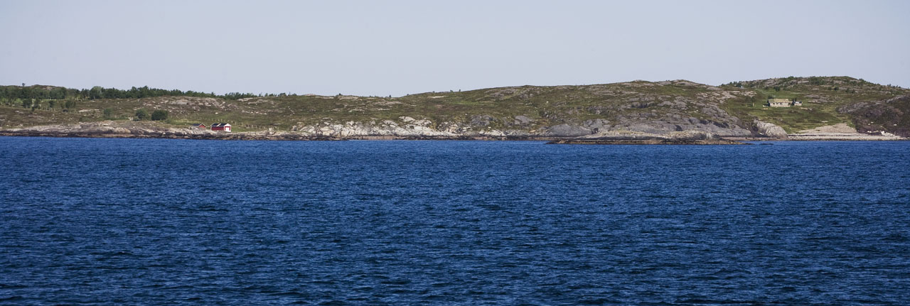
The photo above shows the area where geo-path is situated, from the red boathouse on the left to the cabin to the right. Click on the photo for a closer view.
The different locality-descriptions are found by clicking the thumbnails below.


