
Through Quaternary period, the last approx. 2.6 million years of earth history, glaciers in repeated glaciations shaped the landscape of Scandinavia to what we today call an alpine landscape. We know most of what happened in the last Ice Age, which lasted from ca. 115 000 to 10 000 years ago, in a geological perspective almost yesterday. The sketches below indicate the deglaciation of the Main Ice Sheet from last Ice Age maximum up to the last phase of last Ice Age in Scandinavia.
Most of the small scaled landforms we find today is formed during or after the last Ice Age, whether they are formed by deposition of sediments or erosion of rocks, while large-scaled alpine forms, as U-shaped valleys and horns, probably are formed by recurring glaciations.
Both the Main Ice Sheet and local glaciers have moulded the landscape and the landform they have created shows movement-direction and position of the ice-margin. In the different localities you may observe striae, pot-hole, roche moutonnée and different large-scaled alpine forms.

Figure 1 shows the spreading of the Main Ice Sheet last Ice Age Maximum, c. 21 500 years ago.

Figure 2 shows the spreading of the Main Ice Sheet c. 12 90011,700 years ago, in a cold climatic period called Younger Dryas.

Figure 3 shows the spreading of the Main Ice Sheet c. 10 000 years ago, when it was nearly melted away from North Norway.
Along the coast of Helgeland moraines are e.g. preserved from glacial advances of the Scandinavian Ice Sheet c. 14 000 years ago, in Older Dryas (see figure 4), and in Younger Dryas (see figure 5).
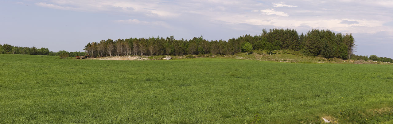
Figure 4 shows a part of the moraine at Åsen in southern parts of the island Vega, formedby the Scandinavian Ice Sheet c. 14 000 years ago.

Figure 5 shows the huge Lysfjordmana-moraine in Bindalen municipality, where Highway 17 is crossing the ridge. The moraine is formed by the Main Ice Sheet in Younger Dryas. Lysfjordmana is situated further inland than Leka ,Vega, and Torghatten. These areas were therefore melted free from the Main Ice Sheet at this time.
