
Smoothed rock-surface
GPS-coordinates: N65°23.912′ E012°05.596′
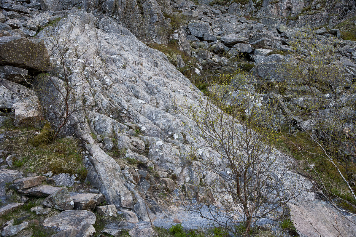
Further up the path you can see the rock-outcrop which is seen in the photo above. Look after differences in rounding of the rock-surface in the outcrop in the middle of the photo, and the surrounding loose cobbles and boulders. Try to explain any differences.
Answer
You find answer here.
Follow the main path further uphill to the entrance of the hollow. Here you will find information and questions about the formation of it.
