
Raised shoreline
GPS-coordinates N65°23.918′ E012°05.624′

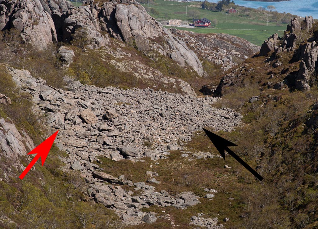
By following a northward-going path, bifurcating from the main path at N65°23.918′ E12°05.624′, you get a beautiful view of an fossil, raised shoreline, c. 100 m above sea level. It is marked with a red circle and shown in more detail in the photo below.
Questions:
- Why do you find a shoreline 100 m above sea-level?
- At the red arrow the cobbles and boulders are bigger and more angular than at the black. Why?
Answers
You find anwers to the questions here.
Next stop at N65°23.912′ E012°05.596′

Great 🙂