
GPS-coordinates locality
N65°38.256′ E011°48.799′
GPS-coordinates to starpoint of the geotrail
Fetched from web-page www.norgeskart.no: N65°39.026′ E11°51.466′ in decimal-minutes, N 65°39’02» E 11°51’26» in minutes and seconds

Figure 1: The photo above is taken on the way up to the locality along the path from its beginning in Bjørnlia, and shows a typical alpine landscape, shaped by glacial erosion. The summit is named Trollvasstinden.
Vegdalsskaret
A ridge-shaped deposition
When you look down the valley to the northeast of the sign and to the east and south you see an elongated ridge. If you wonder which ridge take a look on figures 2 and 3. Try to describe its appearance and the approximate size (length-width-height)? Can you give a roughly estimate of sizes of visible grains? What does these grain-sizes tell about how they have been transported? See about grain-sizes here. What kind of ridge do you think it is? A figure on this page will help you in your interpretation.
A great-scaled erosional form
If you look carefully you will see a longitudinal depression beneath the foot of the mountain and further downhill parallel to the ridge What do you think have formed it? Hint: if you have determined what have formed the ridge you have become acquainted with a very powerful landforming agent.
Answers
Read answers to your questions here.
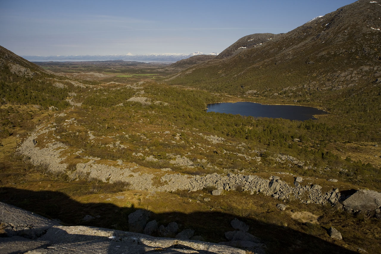
Figure 2: The photo shows the ridge down-valley towards east, seen from the signpost.

Figure 3: This photo is of the same ridge further up-valley, towards south, and is taken from a position close to the signpost. You see a large depression behind the ridge, in the shadow-part of the photo in the foot of Trollvasstinden. Both ridge and depression continues down-valley (figure 2).
Small-scaled erosional forms
There are also some beautiful small-scaled erosional forms southwest of the sign. The parallel grooves are called striae (figure 4) while the small ridges are called roche moutonées (figure 5), These forms are further described in a locality on Leka.

Figure 4: The image shows striae in bedrocks at Vegdalsskaret.
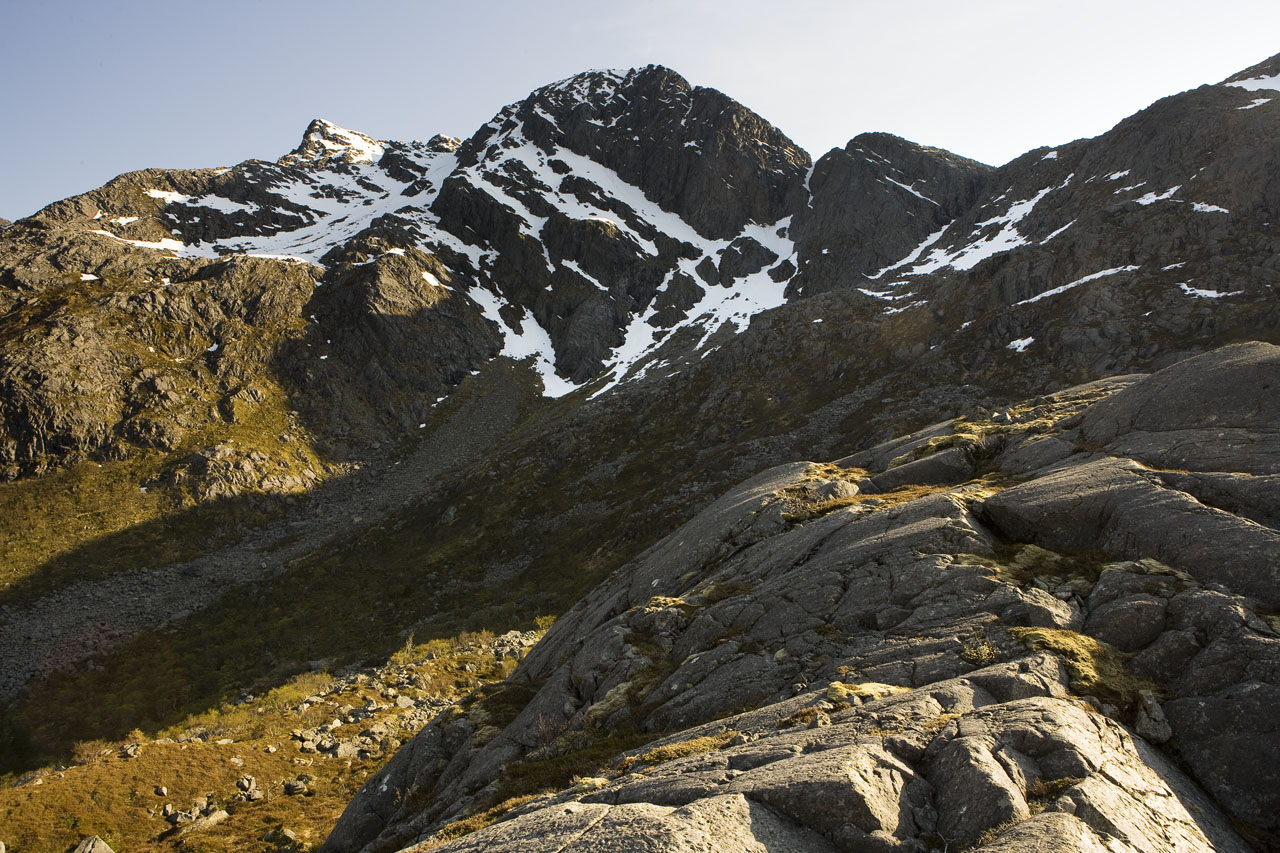
Figure 5: In front to the right of the photo you see small roche moutonées sloping upward to the right. The photo is taken in a southward direction.
