
GPS coordinates: N65°36.883′ E011°48.883′
GPS coordinates of the destination of the trip can be found at the bottom of the presentation.

The path between the parking lot at the inlet Levika and locality 1, at the inlet Juvika
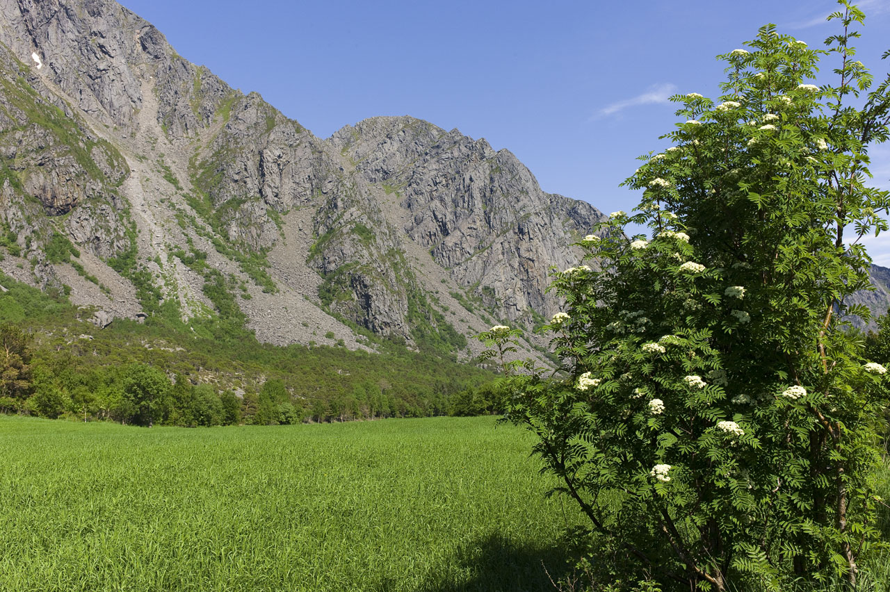
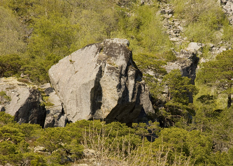
The QR-sign at the car park marks the start of a nice trail that goes all the way to Sundsvoll (locality 4), which the Geo-trail follows the first 1.5 km. The start, up to the beach in Juvika, is easy to follow along a cart road (top photo). You will see beautiful talus cones along the mountainside (see photo 2 above), formed by rockslide of grains eroded by frost weathering (see photo below). This takes place when water freezes and expands cracks in the rock.
Other sediments may initially have been deposited as till by the Main Ice Sheet that more than 14 000 years ago covered the Vega, and covered half of the island at this time (see figure 4 on this page).
The sediments may later have been redeposited by sea, which was higher than today (see here and here about sea level changes).
When you come to the beach, continue along it towards right. The trail continues at the end of the beach, and is a little hard to find at the start. If you have a GPS, you can find it at coordinates N65° 36.777′ E011°48.088′. From here you will see the first red mark on a stone and can follow a distinct path forward to locality 1.
GPS coordinates to locality 1 (Juvika): N65°36.729′ E011°47.600′
